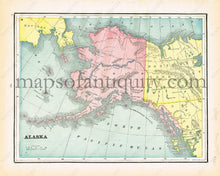
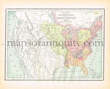
1894
Maker: Cram.
Antique printed color map of Alaska (Recto). Verso: Map of the Indian Nations in the United States at the time of the first European settlement. Very good condition with some slight toning at the edges. By Cram, in The Standard Atlas and Gazetteer of The World, 1894. Recto Map: Approximately 9.5" x 12.25" to the neatline. Verso Map: Approx. 9" x 12.5" to the neatline. **SOLD**
Item Number: USA200


