Winter hours: Tuesday - Saturday 10am to 5pm. Close Sundays and Mondays until May. We appreciate your business!

Antique-Wall-Map-Map-of-the-County-of-Plymouth-Massachusetts--Plymouth-County-Wall-Maps-1857-Walling/Smith-Maps-Of-Antiquity
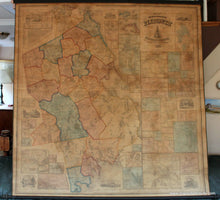
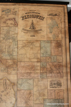
1857 - Map of the County of Plymouth Massachusetts - Antique Map
  • Load image into Gallery viewer, Antique-Wall-Map-Map-of-the-County-of-Plymouth-Massachusetts--Plymouth-County-Wall-Maps-1857-Walling/Smith-Maps-Of-Antiquity
  • Load image into Gallery viewer, 1857 - Map of the County of Plymouth Massachusetts - Antique Map
  • Load image into Gallery viewer, 1857 - Map of the County of Plymouth Massachusetts - Antique Map

1857 - Map of the County of Plymouth Massachusetts - Antique Map

Regular price
$2,400.00
Sale price
$2,400.00
Regular price
Sold out
Unit price
per 
Shipping calculated at checkout.

Item number: MAS534
Genuine Antique Wall Map

1857

Maker: Walling/Smith.

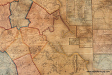
Antique hand colored wall map of Plymouth County, Massachusetts on original rods, with numerous insets of towns, and table of distances. Good restored condition, good original color, whole, restoration included repairing minor wear and tear, removing varnish, rebacking, approx. 60 x 62 inches. **NOTE- because this map requires extra insurance for shipping, an additional charge will appear on your card after your original purchase. If you would like to know what that charge will be, please contact us.**

Item Number: MAS534