Item number: NAM143
Genuine Antique Wall Map
1853
Maker: Monk.
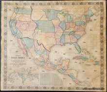
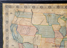
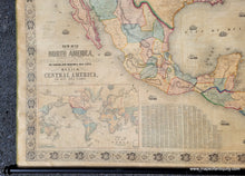
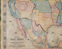
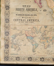
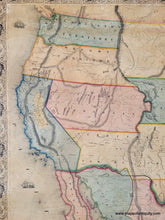
Full title: New Map of That Portion of North America, Exhibiting the United States and Territories, The Canadas, New Brunswick, Nova Scotia, and Mexico, also Central America, and The West India Islands. Compiled from the Most Recent Surveys and Authentic Sources.
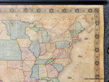
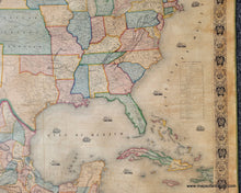
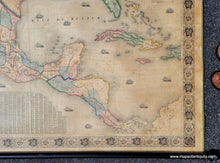
Antique wall map of North America by Jacob Monk, 1853. Large hand-colored map with US Territories, Mexico, Central America, the Caribbean or West Indies, and Native American Tribes. Published in the midst of the California Gold Rush, the California gold region is highlighted. Large Utah Territory, large Territory of New Mexico, Territory of Nebraska as Proposed, two different boundary lines between Mexico and New Mexico, Texas had become a state just 7 years prior, some unlabeled areas, etc. This map is also concerned with travel and indicates railroads built and proposed, trails, wagon routes, and more. Native American territories delineated by color as geo-political entities, including Pawnees, Cherokees, Osages, Otoes, Seminoles, Creek, Chickasaws, Apache, Navahos, Shawnees, Kanza, Delawares, Omahas, Arrapahoes, Cheyennes, Crows, Comanches, among many others. Includes inset map: New Map of the World in lower left corner, as well as Names of Counties and Towns, and Table of Distances. Ships populate the oceans. Good color, golden tone overall, nicely aged, decorative border. Cleaned, deacidified, rebacked with sturdy canvas, edges bound with silk ribbon. On wooden rods. Good to very good restored condition, with signs of age including toning and minor stains as expected for a wall map of this age. 56" x 56".
Genuine Antique Wall Map from 1853
Item Number: NAM143


