Item number: ASI369
Genuine Antique Atlas with Printed Color Maps
1900
Maker: Rev. Jose Algue/ USC&GS.
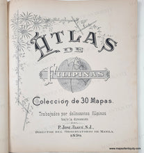
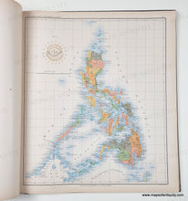
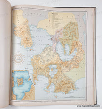
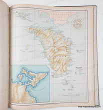
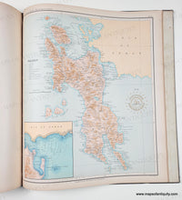
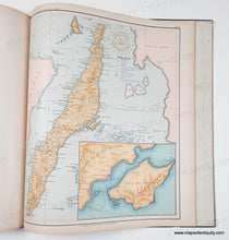
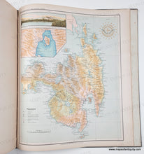
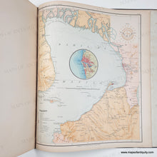
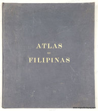
Antique printed color atlas of the Philippines published in 1900. The maps in the atlas were drafted by Philippine draftsmen under the direction of Rev. Jose Algue, S. J., director of the Manila Jesuit Observatory, and the atlas was published by the US Coast and Geodetic Survey. The story of how that came about is printed in the beginning of the atlas, after the two title pages- one in Spanish and one in English. The text on the maps is in Spanish. All maps are single sheet with nothing printed on the verso. The maps are in very good condition. The atlas cover is worn but solid. The binding is solid. The atlas size is approx. 15 x 13.25 inches.
Genuine Antique Atlas from 1900
Item Number: ASI369


