1791
Maker: John Cary
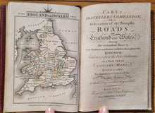
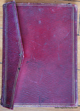
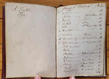
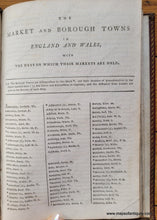
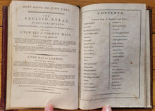
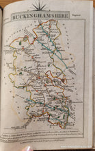
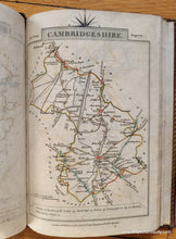
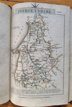
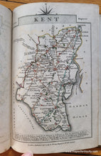
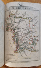
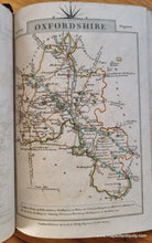
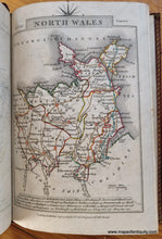
Full Title: Cary's Traveller's Companion, or, a Delineation of the Turnpike Roads of England and Wales; shewing the immediate Rout to every Market and BoroughTown throughout the Kingdom, Laid down from the best Authorities on a New Set of County Maps, to which is added, an Alphabetical List of all the Market Towns, with the Days on which they are held. This charming small atlas of England and Wales was published by John Cary in 1791. Near complete, unfortunately Yorkshire is missing from the atlas. 39 maps of counties in England, maps of North and South Wales, and a map of England and Wales makes a total of 42 maps. The county maps show carriage roads, towns, villages, estates, rivers, and distances from various towns to London. Beautifully bound in red leather with gold embossing. The owner of the atlas, M. Clayton, had extra pages bound into the book at front and back upon which he or she appears to have recorded their travels with distance in miles. The years noted on those pages are 1792, 1793, 1794, and 1815. Very good overall condition. A few pages have small tears or tiny stains. The binding is strong. Slight damage to the outer cover flap and a hole where there was probably a ribbon to tie it closed. Some discoloration to the front of the atlas. Measures approx. 6.5 x 4.75 inches overall. The pages of the atlas are about 6 x 4 inches to the paper edges.
Item Number: BKS010


