Current hours: 10:30am to 5pm Tuesday through Saturday. We are closed Sundays and Mondays for the Winter. IMPORTANT PLEASE NOTE: We have become aware that some of our photos have been stolen by other websites. Our maps are only available at our website www.mapsofantiquity.com or at our store!

Antique-Nautical-Chart-Nantucket-Sound-and-Eastern-Approaches-Massachusetts--Cape-Cod-and-Islands-Nautical-1896-U.S.-Coast-Survey-Maps-Of-Antiquity
1896 - Nantucket Sound And Eastern Approaches Massachusetts Antique Chart Genuine Nautical
  • Load image into Gallery viewer, Antique-Nautical-Chart-Nantucket-Sound-and-Eastern-Approaches-Massachusetts--Cape-Cod-and-Islands-Nautical-1896-U.S.-Coast-Survey-Maps-Of-Antiquity
  • Load image into Gallery viewer, 1896 - Nantucket Sound And Eastern Approaches Massachusetts Antique Chart Genuine Nautical
  • Load image into Gallery viewer, 1896 - Nantucket Sound And Eastern Approaches Massachusetts Antique Chart Genuine Nautical
  • Load image into Gallery viewer, 1896 - Nantucket Sound And Eastern Approaches Massachusetts Antique Chart Genuine Nautical

1896 - Nantucket Sound and Eastern Approaches Massachusetts - Antique Chart

Regular price
$575.00
Sale price
$575.00
Regular price
Sold out
Unit price
per 
Shipping calculated at checkout.

Item number: MAS1123
Genuine Antique Nautical Chart

1896

Maker: U.S. Coast Survey.

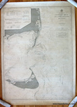
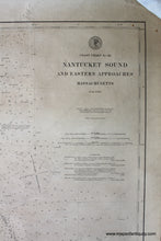
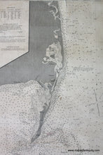
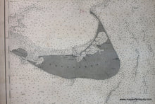
Black and white antique working nautical chart of the waters surrounding Monomoy, Chatham and Nantucket Sound. This is a working chart produced by the U.S. Coast Survey, with additions to 1896. Includes bathymetric data, as well as information on lights, light vessels, buoys, life saving stations, weather signal stations, and tides. This chart omits the coastal detail. Overall in good to very good condition with one tear in lower middle border that has been repaired with archival tape, approx. 37.5 x 27.75 inches. **NOTE- because this map requires extra insurance for shipping, an additional charge will appear on your card after your original purchase. If you would like to know what that charge will be, please contact us.**

Item Number: MAS1123