1872
Maker: U.S. Coast Survey.
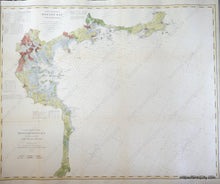
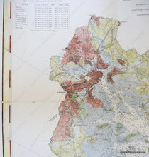
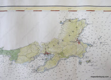
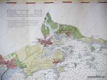
Hand colored antique coastal report chart, from Cape Ann south through Boston Harbor and Boston Harbor Islands, past Scituate, to Green Harbor in present-day Marshfield, Massachusetts; with soundings, magnetic variations, bottom conditions, light houses; restored, linen-backed, Very good overall antique condition overall, measures approx. 31 x 38.5 inches. **NOTE- because this map requires extra insurance for shipping, an additional charge will appear on your card after your original purchase. If you would like to know what that charge will be, please contact us.**
Item Number: NAU182


