1881
Maker: Belden.
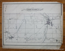
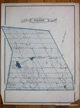
Antique printed color map of the North Dumfries Township. Verso: Map of the Wilmot Township. Fair condition with overall toning, small tears at the edges (one of which is taped), and two missing corner pieces. By Belden, in The Illustrated Atlas of The Dominion of Canada, 1881. Approximately 12" x 16.5" to the neatline (Reversed for the Wilmot map.) Note: Priced "As Is".
Item Number: CAN253


