1905
Maker: Scarborough Company.
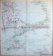
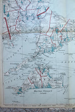
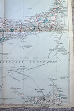
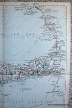
Antique folding road map of Cape Cod, Nantucket, and Martha's Vineyard, published by the Scarborough Company, 1905, in Scarborough's Complete Road Atlas of Massachusetts and Rhode Island. This fantastic map of Cape Cod and the Islands shows town lines, railroads, roads, ferries, villages, bodies of water, notable places, and more. It covers all of the Cape, as well as part of Plymouth County including Duxbury in the north to Marion in the south with Buzzards Bay, Cape Cod Bay, and Nantucket Sound.Very good antique condition with some toning along the edges and along the folds. Folded in quadrants with some wear along the folds and small tears at the folds in the margins. Measures approx. 29 x 26.5 inches to the neatline.
Item Number: MAS2220


