1862
Maker: Depot de la Marine.
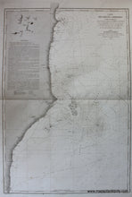
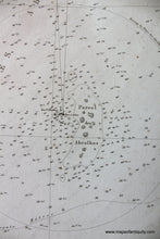
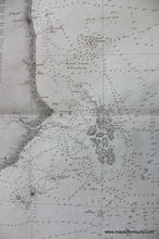
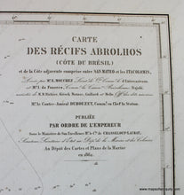
Antique nautical chart showing an area along the coast of Brazil including parts of the States of Bahia and Espirito Santo. By Depot de la Marine and published in 1862. Includes River Sao Mateus, Prado, Nova Vicosa, Caravelas, the Parque Nacional do Monte Pascoal, Ponta do Corumbau, and the Itacolomis Reef & Abrolhos Archipelago. With soundings, anchorages, and navigational hazards. The Abrolhos Archipelago is a national park and comprises a set of important marine and coastal ecosystems. It has the highest marine biodiversity in the South Atlantic, the most extensive area of coral reefs in Brazil and the largest bank of calcareous algae in the world. Very good overall antique condition with some minor foxing and spotting and minor image transfer. Folded as issued. approx. 36 x 24.5 inches to neatline.
Item Number: SAM270


