c. 1631
Maker: John Speed.
Â
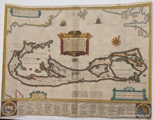
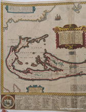
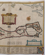
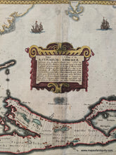
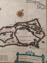
Rare and desirable antique map of Bermuda by John Speed, c. 1631. Speed is one of the best known English mapmakers of the early modern period. This map was engraved by Goos and sold by Humble. The sizes of all the early versions of this map are the same. It is dated 1626, but 1626 appears on the map for several editions, published later. That it is sold by Humble makes it early, but not first edition. It is probably from around 1631---that is from the Humble notation. Features a decorative cartouche and decorative distance keys. Includes remarkable detail for the island, with a complete list of land owners divided by Tribe. The map is based upon John Norwood's survey of 1618. Also interesting to note: in the lower left is Hispaniola, along the top are Florida, Virginia with Roanoak, Cape Cod, and New England, while at the center under the cartouche is a tiny Bermuda. This was done as an ingenious way to place Bermuda in its geographic context. Good to very good overall antique condition with a fold as issued. Overall tan toning, some small stains, some small holes, darkening along the center fold, and tight margins where the map was trimmed. Approx. 15.5 x 20.75 inches to the outer printed edges. **NOTE- because this map requires extra insurance for shipping, an additional charge will appear on your card after your original purchase. If you would like to know what that charge will be, please contact us.** Â
Â
Item Number: CSMT038DJ


