c. 1876
Maker: Stieler.
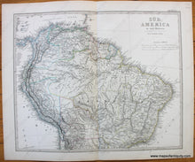
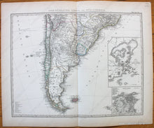
Antique hand colored two sheet map of South America from Stieler's Hand-Atlas, c. 1876. Lower sheet has inset map of the Bay of Rio de Janeiro and another of the city of Rio de Janeiro. Shows countries, major cities, topography, bodies of water, as well as political divisions at that time. Text in German with some Spanish place names. Very good overall antique condition with toning at paper edges. Each sheet measures approx. 12.25 x 15.75 inches to the neatlines. Priced as a set of two. These maps can be purchased individually for $75 each (please place your order by phone if you wish to buy only one sheet).
Item Number: SAM365


