1855
Maker: U.S. Coast Survey.
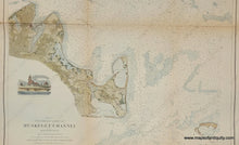
Antique coastal report chart of Muskeget Channel, Martha's Vineyard, Massachusetts, with significant coastal detail, bathymetric data, recognition profiles and lighthouse illustration, as well as information tables on tides and sailing directions. Published by the US Coast Survey in 1855. Has folds, as issued. Recent hand-coloring. Very good overall antique condition with some minor toning that is a bit darker at crease lines, tight margin at lower left. Measures approx. 28 x 20.5 inches.
Item Number: MAS1339


