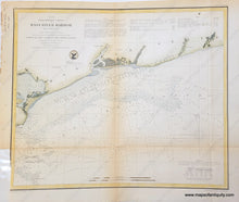
Hand Colored Genuine Antique Nautical Chart
1854
Maker: U. S. Coast and Geodetic Survey.
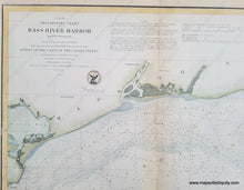
Hand colored antique chart titled "Preliminary Chart of Bass River Harbor", showing Bass River on the borders of Dennis and Yarmouth, Massachusetts, MA. With tide, current, and navigational information. Good antique condition with toning along folds, and narrow margin on left side of map, measures approx.13.5"h x 16"w.
Item Number: MAS036HC


