1860
Maker: U.S. Coast Survey.
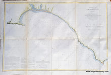
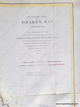
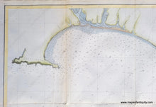
Antique coast survey report chart of Drake's Bay, California. This area is now the Point Reyes National Seashore, including future Stinson Beach, Bolinas and Point Reyes. With soundings, tidal information and sailing directions. Hand-colored by our professional colorist. Very good overall antique condition, with folds as issued, some minor wrinkles in the antique paper, and some mild foxing. Light-weight paper is somewhat fragile. Measures approx. 19.25 x 29 inches to the neatline.
Item Number: WES071


