1855
Maker: US Coast Survey
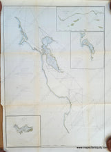
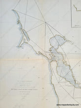
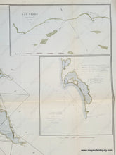
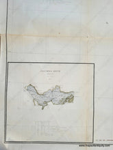
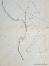
Antique coast survey chart of the west coast from "Ross Mountain" (Fort Ross) to Mount Carmel near Big Sur, California, published in the Annual Report by the US Coast Survey in 1855. Includes the vicinity of San Francisco Bay, San Francisco, San Jose, Santa Cruz, Monterey, Vallejo, etc.Triangulation lines connect various notable locations, including hills, mountains, creeks, and coves. Inset maps of San Pedro and Vicinity, Bay of San Diego, and the Columbia River in Oregon. Very good condition with some mild toning and some wear along the fold lines. A few tiny spots. Recent hand-coloring. Measures approx. 29.5 x 21 inches to the neatline
Item Number: WES537


