1855
Maker: Bigelow / Wagner & McGuigan
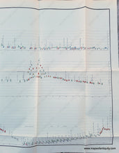
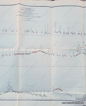
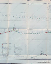
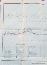
Botanical Profile representing the Forest Trees along the Route explored by Lieut. A. W. Whipple… near the Parallel of 35 degrees North Latitude 1853-1854 from Fort Smith to San Pedro
A fascinating and unique botanical survey prepared by J.M. Bigelow, Botanist to the Expedition, and printed by Wagner & McGuigan, c. 1855. This map is read from right to left and top to bottom, allowing you to follow the expedition's westward journey via the forest trees they encountered. The horizontal lines indicate their elevation and the locations of their camps are indicated along with other notes. The key to the types of trees in located in the lower left corner. This stunning chart is unique and eye-catching while also having a minimalist quality. Definitely a conversation starter! Very good antique condition with folds as issued and some wear along the folds. Measures approx. 20.5 x 46.5 inches to the neatline.
Item Number: OTH399


