Antique-Hand-Colored-Map-Salisbury-Village-Lime-Rock-Amesville-Connecticut-United-States-Connecticut-1874-Beers-Maps-Of-Antiquity
1874 - Salisbury Village Lime Rock Amesville Connecticut - Antique Map
  • Load image into Gallery viewer, Antique-Hand-Colored-Map-Salisbury-Village-Lime-Rock-Amesville-Connecticut-United-States-Connecticut-1874-Beers-Maps-Of-Antiquity
  • Load image into Gallery viewer, 1874 - Salisbury Village Lime Rock Amesville Connecticut - Antique Map
  • Load image into Gallery viewer, 1874 - Salisbury Village Lime Rock Amesville Connecticut - Antique Map

1874 - Salisbury Village Lime Rock Amesville Connecticut - Antique Map

Regular price
$125.00
Sale price
$125.00
Regular price
Sold out
Unit price
per 
Shipping calculated at checkout.

Item number: CON308
Genuine Antique Hand Colored Map

1874

Maker: Beers.

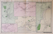
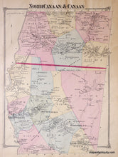
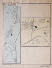
Antique hand colored map of the Villages of Salisbury, Lime Rock, Amesville and Falls Village, Lakeville and Ore Hill, Connecticut, from F.W. Beers' County Atlas of Litchfield, 1874, showing major roads, railroads, property owners, schools, churches, cemeteries, businesses, including the Barnum Richardson & Co. Car Wheel Works, rivers, lakes, iron deposits. Versos display Towns of North Canaan & Canaan on one side, Villages of East Canaan and Canaan on the other. Very good antique condition with overall toning and repairable center seam separation on lower , measures approx. 13.5 x 21.5 inches, verso maps 13.5 x 10 inches each.

Item Number: CON308