1874
Maker: Beers.
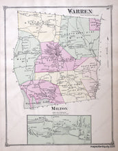
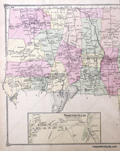
Antique hand colored map of the Town of Warren, Connecticut, from F.W. Beers' County Atlas of Litchfield, 1874, with villages and districts of the time delineated by color, and when the Village of Warren was an active hub of the town; showing major roads, railroads, property owners, schools, churches, cemeteries, businesses and a small corner of Lake Waramaug; includes separate map of the Village of Milton in the Town of Litchfield; verso displays western half of Litchfield town map and a village map of Northfield in the Town of Litchfield. Very good antique condition with overall toning, measures approx. 13.5 x 11 inches.
Item Number: CON321


