1806
Maker: Cary
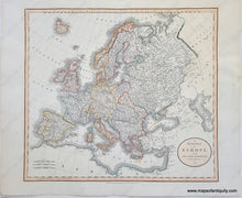
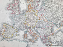
Antique map of Europe by John Cary, 1806. An interesting map of Europe during the time of Napoleon. France has taken Belgium, the Netherlands, and Northern Italy. This is a British view of the current state of Europe in 1804. Map is in very good restored condition; it has been cleaned, deacidified, and backed. Map measures approx. 18 x 20.25 inches to the neatline.
Item Number: CSMT108


