1788
Maker: Buffon.
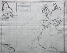
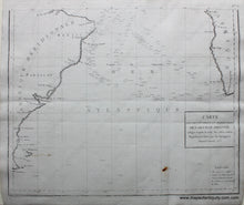
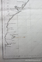
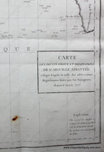
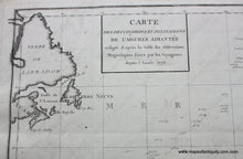
Carte des Declinaisons et Inclinaisons de L'Aiguille Aimantee redigee de'apres la table des observations Magnetiques faites par les Voyageurs depuis l'Annee 1775
Set of two black and white copperplate engraved antique charts of the Atlantic Ocean and bordering lands, the British Isles, France, Spain, western Africa, Labrador, Paraguay, Brazil. The numbers throughout the ocean are the records of magnetic needle readings taken from 1775 to 1788 when the map was published. Professionally restored, very good condition, one small spot bottom right. In 2 sheets, not joined, approx. 32.5 x 20.75 inches. **NOTE- because this map requires extra insurance for shipping, an additional charge will appear on your card after your original purchase. If you would like to know what that charge will be, please contact us.**
Item Number: WOR075


