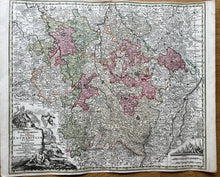
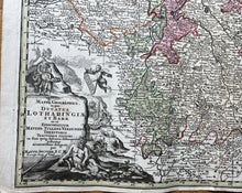
Genuine Antique Hand-colored Map
c. 1720
Maker: Seutter
This antique map of Lorraine and Barr, France, includes Metz, Luxembourg, Lichtenstein, Zweibrucken, down to Colmar. Published c. 1720. In overall very good antique condition, excellent color, with minor margin wear, measures about 19 1/2"h x 22 1/2"w to the neat line. Price reflects condition.
Item Number: CSMT084


