1788
Maker: William Faden
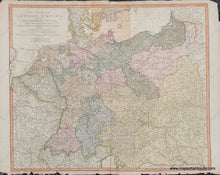
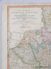
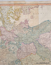
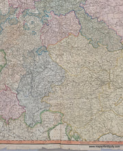
Antique map of Germany by William Faden, 1788. This handsome map covers the area of the German Empire, Denmark, Poland, the Netherlands, Belgium, Switzerland, Austria, Hungary, and part of France. It shows towns and cities with the principal post roads. With folds as issued. Original hand-coloring. Fair to good condition with some repaired separations at the seams, some toning, including an area of darker toning at top center, and some damage at the paper edges that could be hidden when framed. Measures approx. 22.75 x 29.5 inches to the neatline.
Item Number: EUR3072


