Winter hours: Tuesday - Saturday 10am to 5pm. Close Sundays and Mondays until May. We appreciate your business!

Antique-Printed-Color-Map-Egypt-Arabia-Upper-Nubia-and-Abyssinia-verso:-Alexandria-(Egypt)-and-A-Map-of-Cyprus-Middle-East-&-Holy-Land--1894-Cram-Maps-Of-Antiquity
1894 - Egypt, Arabia, Upper Nubia and Abyssinia, verso: Alexandria (Egypt), and A Map of Cyprus - Antique Map
  • Load image into Gallery viewer, Antique-Printed-Color-Map-Egypt-Arabia-Upper-Nubia-and-Abyssinia-verso:-Alexandria-(Egypt)-and-A-Map-of-Cyprus-Middle-East-&-Holy-Land--1894-Cram-Maps-Of-Antiquity
  • Load image into Gallery viewer, 1894 - Egypt, Arabia, Upper Nubia and Abyssinia, verso: Alexandria (Egypt), and A Map of Cyprus - Antique Map

1894 - Egypt, Arabia, Upper Nubia and Abyssinia, verso: Alexandria (Egypt), and A Map of Cyprus - Antique Map

Regular price
$60.00
Sale price
$60.00
Regular price
Sold out
Unit price
per 
Shipping calculated at checkout.

Item number: MID130
Genuine Antique Printed Color Map

1894

Maker: Cram.

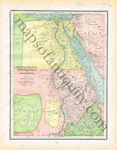
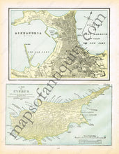
Antique printed color map of North-Western Africa and part of Saudi Arabia (Recto Map). Has some minor offsetting in the printed color. Verso: A map of Alexandria and a map of Cyprus. The map of Cyprus indicates the locations of some ancient tombs and temples. Very good condition with some slight toning at the sides. By Cram, in The Standard Atlas and Gazetteer of The World, 1894. Recto Map: Approximately 12.25" x 9.25" to the neatline. Verso- Map of Alexandria: Approx. 6.5" x 9.25" to the neatline. Map of Cyprus: Approx. 5.5" x 9.75" to the neatline. Map of Cyprus extends slightly past the neatline at the top left corner. If you would like to purchase any of these maps separate from the others, please contact us.

Item Number: MID130