1884
Maker: Walker.
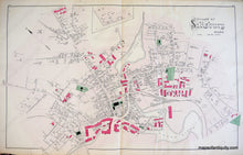
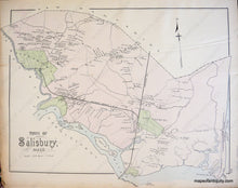
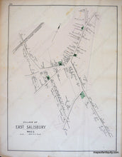
Antique hand colored maps of the Village of Salisbury, the Town of Salisbury, and the Village of East Salisbury, MA from Walker's 1884 Atlas of Essex County. Side one depicts the Village of Salisbury, including public buildings and areas, churches, Clark's Pond, the Powow River and a riverfront filled with woolen mills, roads, schools, property owners, and businesses. Side two displays the Town of Salisbury, showing an early resort settlement along Salisbury Beach, the Seaside House, and Ocean View House, and the Village of East Salisbury, including buildings with owners' names, public buildings and areas, water bodies, landforms, islands, railroads, roads, and schools. Very good antique condition with light overall toning and a vertical crease. Center spread of Village of Salisbury measures approx. 16 x 25.5 inches, verso maps about half that size.
Item Number: MAS1666


