1884
Maker: Walker.
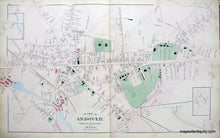
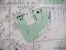
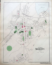
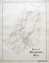
Antique hand colored maps of the Villages of Andover and Georgetown, and the Town of Georgetown, MA from Walker's 1884 Atlas of Essex County. Side one is the Village of Andover and shows public buildings and areas, churches, bodies of water, railroads, roads, and schools, including world-famous Phillips Academy and its grounds. Side two displays Georgetown village and the Town of Georgetown, including buildings with owners' names, public buildings and areas, landforms, bodies of water, islands, railroads, roads, and schools. Very good overall antique condition with light overall toning and original colorist's mistakes as issued. Center spread of Andover measures approx. 25.5 x 16 inches, verso maps about half that size.
Item Number: MAS1656


