1848/1865
Maker: Blunt.
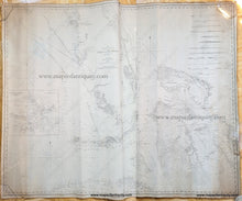
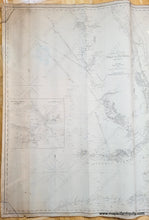
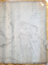
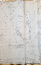
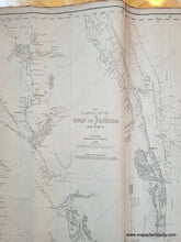
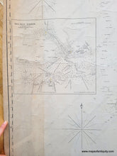
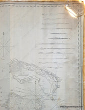
Antique blue back nautical chart by Edmund Blunt; first printed in 1848, this chart includes updates to 1865. Great representation of all of the Bahama Banks, and the Florida Keys, and south and central Florida, from Mosquito Inlet, Cape Canaveral and Tampa Bay in Florida to the north coast of Cuba, includes Florida Reef with a 9 1/2" x 9" inset chart of Key West Harbor. With 13 recognition profiles and red dots with yellow to show the location and direction of the lighthouses. The center of Florida shows a "Sketch of the US Coast Survey Signals on the Florida Reef; The letters show their locations." Shows water depths and bathymetric data. Good original condition with some small tears on the edges, one larger tear on the right side, a vertical seam where sheets of paper were joined to create the chart, tightly rolled, some surface soil that could easily be cleaned. Could be restored for about $500-$600, which would clean, deacidify, and flatten it. Approximately 38 x 48 inches. **NOTE- this map requires extra insurance for shipping
Item Number: NAU135


