1863/1888
Maker: U.S. Coast Survey
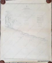
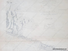
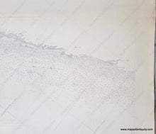
Antique nautical sailing chart of part of the Florida Keys, first published by the US Coast Survey in 1863 and with updates to navigation to 1888. Includes Conch Keys, Channel Key, Duck Key, Grassy Key, Vaca Key, Long Point Key, Fat Deer Key, Marathon, Boot Key, Little Duck Key, Missouri Key, Ohio Key, Bahia Honda Key, West Summerland Key, No Name Key, Big Pine Key, the Torch Keys, and more. With soundings, lighthouses, tidal information, ocean substrate information, and more. This is part of a set of four charts, a diagram of which is shown under the title. Good antique condition with a horizontal crease and some wear along that crease including one small tear. Some minor small spots and stains and minor wrinkles. Measures approx. 39"h x 30.5"w to the neatline. **NOTE- This map requires extra insurance for shipping. If you would like to discuss the method or cost of shipping, please contact us.**
Item Number: NAU425


