1876
Maker: Gray.
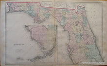
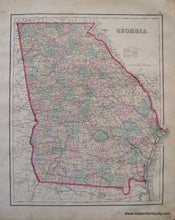
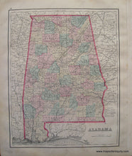
Hand Colored Antique double-sided map from "Gray's Atlas of the U.S. with General Maps of the World". A large map of Florida, with inset of the southern part of the state. Reverse side has maps of Georgia and Alabama. Shows counties, towns, cities, land forms, rivers, bodies of water, and railroads. Fair to Poor Antique condition, some overall staining, separation at center crease, tears at bottom, toning on edges. Priced as-is. Approx. 16.5 x 27 inches Carolina maps are 12 x 16.5 inches each and can be purchased for $65 each
Item Number: SOU221


