1884
Maker: US Coast and Geodetic Survey.
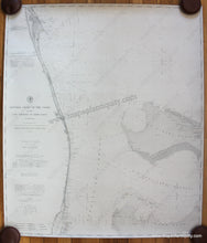
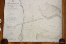
Antique uncolored nautical chart showing the Florida coast. Published in 1884. Includes Fort Lauderdale, West Palm Beach, St Lucie, Key Biscayne, a railroad to West Palm Beach, and Little Bahama Bank. West Palm Beach was settled around 1884 and was incorporated in 1894- ten years after this chart was published. It is in very good overall antique condition with mild toning throughout, and margins cut off to the neatline. Measures approximately 37.75 x 32.5 inches (H x W) overall. **NOTE- because this map requires extra insurance for shipping, an additional charge will appear on your card after your original purchase. If you would like to know what that charge will be, please contact us.**
Item Number: NAU362


