Pickup available at 1409 MAIN ST, CHATHAM MA
Usually ready in 24 hours
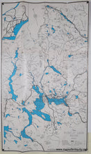
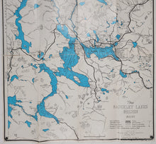
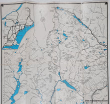
1951 - The Rangeley Lakes Region, Maine - Vintage Map
-
1409 MAIN ST, CHATHAM MA
Pickup available, usually ready in 24 hours1409 Main Street
Chatham MA 02633
United States+15089451660
Item number: MAI277a
Genuine Folding Map
1951
Maker: Rangeley Lakes Region Chamber of Commerce
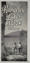
Vintage folding map of the Rangeley Lakes region of Maine, issued by the Rangeley Lakes Region Chamber of Commerce, copyrighted in 1941 and revised in 1951. This map shows roads, trails, campsites, golf courses, and more. With water depths in the lakes and elevations of peaks. Back side has tourism information, including hotels, campsites, and many black and white photographs. Fair to good antique condition with wear along the folds, including tears along the folds and some paper loss at fold intersections. Fragile. Can still be framed and enjoyed. Measures approx. 24.5 x 21.5 inches to the neatline.
Item Number: MAI277a


