Pickup available at 1409 MAIN ST, CHATHAM MA
Usually ready in 24 hours
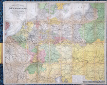
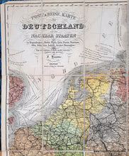
1874 - Central Europe - Post- & Reise-Karte von Deutschland und den Nachbar Staaten - Antique Map
-
1409 MAIN ST, CHATHAM MA
Pickup available, usually ready in 24 hours1409 Main Street
Chatham MA 02633
United States+15089451660
Item number: EUR3264
Genuine Antique Map
1874
Maker: Flemming / Handtke
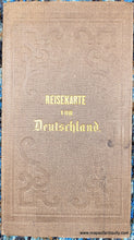
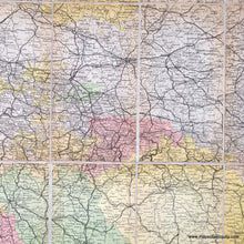
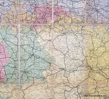
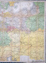
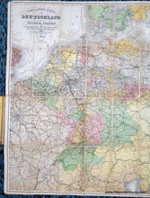
Antique folding map of Germany and the neighboring countries, by F. Handtke, published by Carl Flemming, 1874. This map encompasses a large area of Central Europe and includes many major cities, such as Paris, Berlin, Prague, Vienna, Belgrade, Budapest, Krakow, Warsaw, Kaliningrad, and many more. This map includes roads, railroads, rivers such as the Danube and Rhine, cities, towns, and it is colored by political entity. This map was made in smaller sheets and mounted on cloth so that it can be folded. Thirty-six sheets. It is attached to its original case aka boards. In German. Very good antique condition with minor wear and signs of age. Each sheet measures approx. 8.75 x 4.75 inches. Map measures approx. 34 x 42.5 inches to the edges.
Genuine Antique Map from 1874
Item Number: EUR3264


