1883
Maker: C. Smith and Son
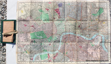
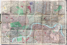
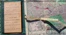
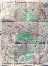
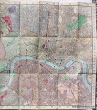
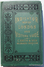
Antique hand colored folding map of London by C. Smith & Son, 1883. This detailed street map was published as a visitor's guide and it includes an alphabetical list of 7000 streets, a guide to public buildings, Theatres, & places of Amusement, with a complete list of railway stations. The map shows parks and gardens, notable buildings, railway stations, the many bridges over the Thames, and more. This booklet includes a measuring tape to aid you in finding a location: "Required the Situation of Somerset House? - Find the Place in the Alphabetical List, opposite to which are Nos. 45-29. Apply the Tape to 45 on the margin of the Map, and above 92 on the Tape will be found Somerset House." The map is ruled in quarter mile squares. Overall very good antique condition with minor signs of age, wear along the folds and at the fold intersections. The map is on a cloth backing, making it sturdy, and the tape is also cloth. This map could be removed from the booklet for framing, or the book cover could be folded behind it. Measures approx. 20.25 x 30.25 inches to the sheet edges and 19 x 28.75 inches to the neatline.
Item Number: TOW124


