Current hours: 10am to 5pm Tuesday through Saturday. We are closed Sundays and Mondays for the Winter. Proud to be a SMALL, LOCAL, CAPE COD BUSINESS! Maps of Antiquity is in its 38th year! Our maps are only available at our website www.mapsofantiquity.com or at our store!

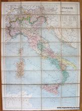
Genuine-Antique-Map-Italie-Europe-Italy-1891-Eugène-Andriveau-Goujon-Maps-Of-Antiquity-1800s-19th-century
1891 - Italie Antique Map Genuine
  • Load image into Gallery viewer, Genuine-Antique-Map-Italie-Europe-Italy-1891-Eugène-Andriveau-Goujon-Maps-Of-Antiquity-1800s-19th-century
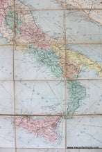
  • Load image into Gallery viewer, 1891 - Italie Antique Map Genuine
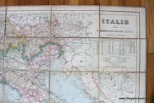
  • Load image into Gallery viewer, 1891 - Italie Antique Map Genuine

1891 - Italie - Antique Map

Regular price
$350.00
Sale price
$350.00
Regular price
Sold out
Unit price
per 
Shipping calculated at checkout.
 More payment options

Pickup available at 1409 MAIN ST, CHATHAM MA

Usually ready in 24 hours

Item number: EUR2706
Genuine Antique Map

1891

Maker: Eugene Andriveau-Goujon.


Antique printed color map of Italy by E. Andriveau-Goujon, 1891. This map has been divided into sections and mounted on linen, making it foldable. It shows Italy and the surrounding area, colored by country and region. Includes capitals, towns, villages, railroads, steamship routes, roads, and topography. Very good condition with some toning, some minor spots, and normal wear. Measures approx. 37 x 26 inches to the neatline or 39 x 28 inches to the outer edges.


Item Number: EUR2706