Current hours: 10am to 5pm Tuesday through Saturday. We are closed Sundays and Mondays until late May. Proud to be a SMALL, LOCAL, CAPE COD BUSINESS! Maps of Antiquity is in its 38th year! Our maps are only available at our website www.mapsofantiquity.com or at our store!

Printed-Color-Antique-Folding-City-Map-New-York-Map-Guide-Picture-Map-in-Full-Color-Street-Map-and-Subway-Map-Folding-New-York-City-1964-Bollmann-Maps-Of-Antiquity
1964 - New York Map-Guide Picture Map In Full Color Street And Subway Antique Printed-Color Genuine
  • Load image into Gallery viewer, Printed-Color-Antique-Folding-City-Map-New-York-Map-Guide-Picture-Map-in-Full-Color-Street-Map-and-Subway-Map-Folding-New-York-City-1964-Bollmann-Maps-Of-Antiquity
  • Load image into Gallery viewer, 1964 - New York Map-Guide Picture Map In Full Color Street And Subway Antique Printed-Color Genuine
  • Load image into Gallery viewer, 1964 - New York Map-Guide Picture Map In Full Color Street And Subway Antique Printed-Color Genuine
  • Load image into Gallery viewer, 1964 - New York Map-Guide Picture Map In Full Color Street And Subway Antique Printed-Color Genuine
  • Load image into Gallery viewer, 1964 - New York Map-Guide Picture Map In Full Color Street And Subway Antique Printed-Color Genuine
  • Load image into Gallery viewer, 1964 - New York Map-Guide Picture Map In Full Color Street And Subway Antique Printed-Color Genuine

1964 - New York Map-Guide, Picture Map in Full Color, Street Map and Subway Map - Antique Map

Regular price
$275.00
Sale price
$275.00
Regular price
Sold out
Unit price
per 
Shipping calculated at checkout.
 More payment options

Pickup available at 1409 MAIN ST, CHATHAM MA

Usually ready in 24 hours

Item number: NYO231
Printed Color Genuine Antique Folding City Map

1964

Maker: Bollmann.

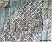
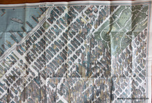
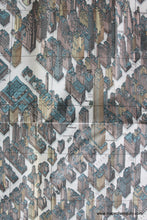
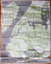
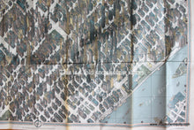
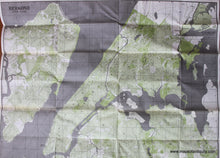
Graphically stunning, detailed map showing New York City buildings during the 1964 World's Fair, general map of New York and Vicinity on the reverse. This is a wonderful full color pictorial bird's eye view of Manhattan, the area south of Central Park, with extraordinarily detailed 3-D architectural renderings. Important buildings are labeled, as are all streets and avenues. The artist is Hermann Bollmann, a woodcarver and engraver, who, since 1948, has drawn 39 similar maps of European cities. To prepare this map, Mr. Bollmann and his staff designed and built special cameras, and took 67,000 individual photographs of New York City, 17,000 from the air. To solve the problem of skyscrapers and concentration of building, Mr. Bollmann used several unique devices which remain his secret. The map is drawn with exact accuracy to the smallest detail. All the actual drawing was done by hand. On reverse is a more traditional map of Manhattan, Brooklyn, Queens, and Staten Island. Very good condition with minor separation at folds which can be repaired, aproximately 33" x 44".

Item Number: NYO231