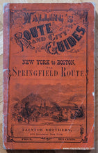
1867
Maker: Walling / Taintor Brothers
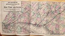
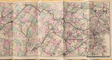
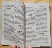
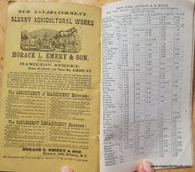
Antique railroad guide with map showing the route between New York City and Boston, by Ferd. Mayer & Co. for Walling's Route and City Guides, published by Taintor Brothers. Map is colored by town, shows connecting routes, cities including Brooklyn, Manhattan, Hartford CT, Providence RI, , and many others as well as the Connecticut coast, part of Long Island, and part of Massachusetts. Map is in a booklet used for travel, which describes the route, as well as the towns along the way. Includes time tables and advertisements. Map could easily be removed from booklet for framing. Booklet measures approx. 6 x 3.75 inches. Map measures approx. 20.75 x 5.5 inches. Very good antique condition with wear and stains on the booklet cover, what appears to be archival tape on booklet spine, minor signs of age on the map. Some small pieces of tape on back of map near paper edge along one fold.
Item Number: NEW191


