Pickup available at 1409 MAIN ST, CHATHAM MA
Usually ready in 24 hours
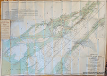
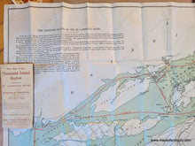
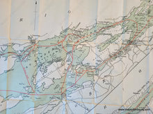
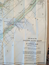
1910 - New Map of the Thousand Island Region Including the St Lawrence River from Kingston to Ogdensburg - Antique Map
-
1409 MAIN ST, CHATHAM MA
Pickup available, usually ready in 24 hours1409 Main Street
Chatham MA 02633
United States+15089451660
1910
Maker: Walker
Antique folding map of the 1000 Island portion of the St Lawrence River. Prepared for Mills & Bawden by the Walker Lithograph and Publishing Co., copyrighted 1909 and with a pencil-written year of 1910. This map is the self-proclaimed "most Complete and Reliable Tourists' Map ever Published..." and "Indispensible to a correct knowledge of the Thousand Island Region, showing Steamer Routes on Thousand Island Excursions, Summer Resorts, Islands, Island Homes, and all Points of Interest." Original printed color. Good to very good condition with some minor spots and stains, some wear along the folds. Some staining near the jacket (attached). Measures approx. 27.25 x 39.5 inches to the neatline.
Item Number: NYO1160


