Pickup available at 1409 MAIN ST, CHATHAM MA
Usually ready in 24 hours
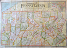
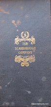
1907 - Pennsylvania Folding Map by the Scarborough Company - Antique Map
-
1409 MAIN ST, CHATHAM MA
Pickup available, usually ready in 24 hours1409 Main Street
Chatham MA 02633
United States+15089451660
1907
Maker: Scarborough Publishing Company.
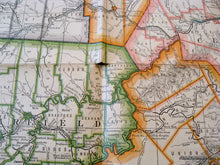
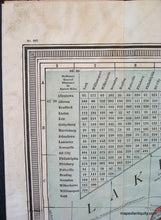
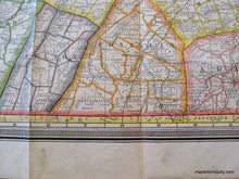
Printed color antique folding map of Pennsylvania made by the Scarborough Company in 1907. Showing all counties, townships, cities, boroughs, villages, post-offices, and Railway Stations with distances between stations in statute miles and decimal fractions of miles. Compiled from the latest government and state surveys and original sources. Showing Steam Railways and suburban Electric Lines and the principal Highway Connections across the mountains. Upper right corner has a table showing the distances saved by the Panama Canal along with three maps of Panama and the canal, as well as a map of the city of Philadelphia. Fair Antique condition with light minor surface soiling and some seam separation. Approx. 38 x 52 inches when open. Folded size is approx. 10 x 5 inches.
Item Number: MAT122


