Pickup available at 1409 MAIN ST, CHATHAM MA
Usually ready in 24 hours
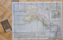
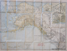
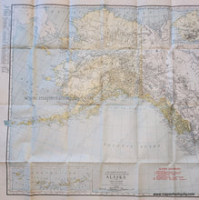
1920 - The Rand McNally New Commercial Atlas Map of Alaska - Antique Map
-
1409 MAIN ST, CHATHAM MA
Pickup available, usually ready in 24 hours1409 Main Street
Chatham MA 02633
United States+15089451660
1920
Maker: Rand McNally
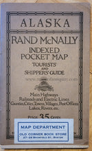
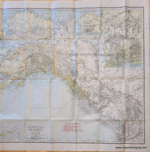
Antique printed color folding map of Alaska, published by Rand McNally, circa 1920. Shows railroads, topography, mountains, cities. With inset maps of the Aleutian Islands, Seward Peninsula Mining District, and Mt. McKinley District. Comes with a small booklet with index (not attached to map). Very good antique condition with folds as issued and some minor wear along the folds. Back cover of the booklet is attached. Measures approx. 19 x 25.75 inches to the neatline.
Item Number: WES434


