1783
Maker: Bew / Political Magazine
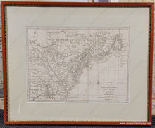
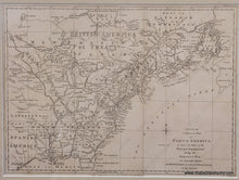
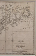
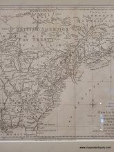
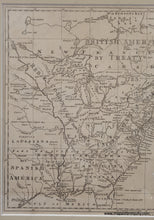
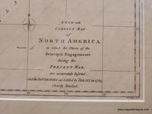
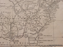
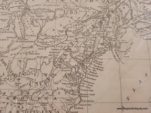
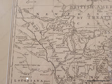
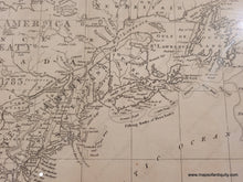
Rare antique map of the Atlantic coast of North America by Bew, published in Political Magazine, February 28th, 1783. This scarce map was originally engraved by John Lodge and then updated in 1783 to reflect the changes with the Treaty. It was one of the first maps produced to show the new boundaries. It shows the area from Newfoundland to Florida and as far west as Texas. The western areas are filled with the names of the Native American peoples living there. Large letters were added over the map indicating the "Rebel Colonies, now the United States of America" and "British America by Treaty" in Canada. Texas and Florida are labeled "Spanish America" and the names of the states in the South stretch far west. The boundaries of the new US are shown as a line made of small lines and older boundaries are noted with smaller dotted lines. The boundary in Maine had not yet been settled, giving Maine a pointy top. This map is quite uncommon on the market. Very good condition with folds as issued. Measures approx. 11.75 x 16 inches to the neatline. Framed - matting appears to be archival. Can be shipped with or without the frame (price does not change but the cost of shipping will be less if it is shipped unframed).
Item Number: CSMT141


