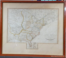
1820
Maker: Franz Ludwig Gussefeld
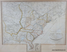
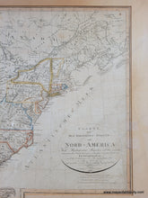
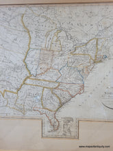
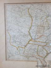
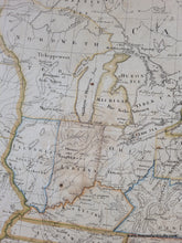
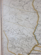
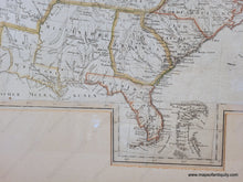
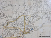
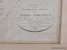
Rare antique map of the United States not long after its creation by Franz Ludwig Gussefeld. This map was first published in 1805, and again in 1812, and 1817; this is the 1820 edition. The title translates to "Map of the United States of North America, Designed and drawn according to Murdochian projection and the latest astronomical location determinations by F.L. Gussefeld, 1805, according to the discoveries of Mr. Lewis, Clark : Pike. Corrected in Sept 1812 and after the newest state divisions in 1817." This map was updated to reflect new information over time and republished. Some interesting cartographic curiosities include a large Mississippi, Maine before the Aroostook War settled the boundary, the Northwest Territory (spelled Nordweth for some reason- the German word for Northwest is Nordwest), the large Louisiana Territory, and a dot labeled Texas. With plentiful information about the locations on Native American Indians, as well as cities, towns, some topography, etc. Very good condition with some spots. Framed. The framing does not appear to be archival and the map should be reframed, therefore if it is purchased online, it will be shipped unframed. This map may be attached to a board- please contact us if you are interested and wish to know for sure. It measures approx. 21.5 x 27 inches to the neatline. Please forgive the small amounts of glare on the glass in the photos.
Item Number: CSMT143


