Winter hours: Tuesday - Saturday 10am to 5pm. Close Sundays and Mondays until May. We appreciate your business!

Genuine-Antique-Map-Plan-de-Paris---Paris-en-1710-Europe-France-1908-A.-Taride-Maps-Of-Antiquity-1800s-19th-century
  • Load image into Gallery viewer, Genuine-Antique-Map-Plan-de-Paris---Paris-en-1710-Europe-France-1908-A.-Taride-Maps-Of-Antiquity-1800s-19th-century
  • Load image into Gallery viewer, Genuine-Antique-Map-Plan-de-Paris---Paris-en-1710-Europe-France-1908-A.-Taride-Maps-Of-Antiquity-1800s-19th-century
  • Load image into Gallery viewer, Genuine-Antique-Map-Plan-de-Paris---Paris-en-1710-Europe-France-1908-A.-Taride-Maps-Of-Antiquity-1800s-19th-century
  • Load image into Gallery viewer, Genuine-Antique-Map-Plan-de-Paris---Paris-en-1710-Europe-France-1908-A.-Taride-Maps-Of-Antiquity-1800s-19th-century
  • Load image into Gallery viewer, Genuine-Antique-Map-Plan-de-Paris---Paris-en-1710-Europe-France-1908-A.-Taride-Maps-Of-Antiquity-1800s-19th-century
  • Load image into Gallery viewer, Genuine-Antique-Map-Plan-de-Paris---Paris-en-1710-Europe-France-1908-A.-Taride-Maps-Of-Antiquity-1800s-19th-century

1908 - Plan de Paris - Paris en 1710 - Antique Map

Regular price
$1,200.00
Sale price
$1,200.00
Regular price
Sold out
Unit price
per 
Shipping calculated at checkout.

Item number: EUR2711

Genuine Antique Map

1908

Maker: A. Taride.


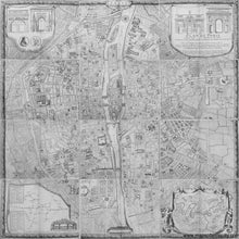
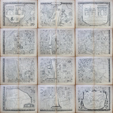
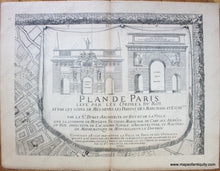
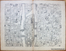
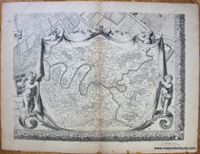
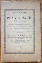
This unusual offering is an antique set of twelve maps that together create a large an impressive map of Paris. It was published in 1908 by Taride and is a recreation of a historic earlier map of Paris from 1710. The original map was commissioned by King Louis XIV and created by Bullet, Blondel, and Jaillot and it took years to survey and map the city. It was issued in 1676 and updated later. This map covers the area from the Bastille to the Jardin des Tuileries, and Montmartre to l'Observatoire and includes the Ile de la Cite, with Notre Dame, the Louvre, and more. Upper corners show the four great gates of Paris, the lower left has a map of the city's waterworks and fountains, and lower right shows the environs around the city.   These gorgeously detailed maps could be framed individually in a style that is popular theses days, reminiscent of a gallery wall, or the pages could be joined by a restorer to create one wall map (similar to the digitally rendered image we have produced).   Good to very good condition with minor damage at the page edges (thankfully the margins are large so the damage does not affect the image), and overall toning to a tan color. Center folds as issued. A previous owner made some pencil marks in the margins to indicate the order. Each sheet measures approx. 19.75 x 25.75. The printed area on each sheet measures approx. 16.75 x 22.25 inches. These maps come in their original booklet cover with text about the map in French.

Item Number: EUR2711