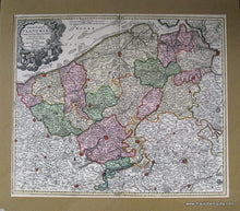
c. 1750
Maker: Johann Baptist Homann.
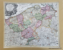
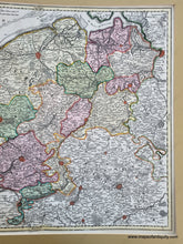
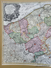
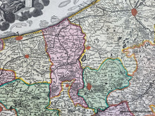
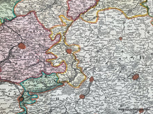
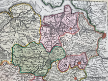
Antique hand colored map of Flanders, in present-day Belgium, France, the Netherlands, by Johann Baptist Homann, pre-1724, published by Homann Heirs, Nuremberg, c. 1750. From Antwerp to Dunkirk to Valenciennes and including Bruges, Brussels, and Ghent (the latter two cities are not colored red). Extraordinary detail of cities, towns, villages, rivers and water bodies, some landforms and forested areas, with small city plans as well as major roads and routes. Very good overall antique condition, matted, 19 x 22.75 inches. **Special Sale: was $285, now $170! Net.**
Item Number: EUR229JR


