c. 1725
Maker: J.B. Homann.
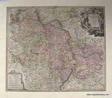
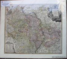
Antique hand colored map of the Rhine-Neckar-Main region of Germany by J.B. Homann, c. 1725. Rhineland-Pfalz, includes Frankfort, Heidelberg and the site of Karlsruhe. Beautiful coloration, and with extraordinary detail of landforms, rivers and water bodies, cities, towns, villages, churches, etc., with key and lovely illustrated title. Very good overall antique condition, matted, 19.5 x 23 inches. **Spring Sale: was $375, now $225! Net.**
Item Number: EUR227JR


