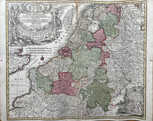
Genuine Antique Hand-colored Map
c. 1740
Maker: Seutter
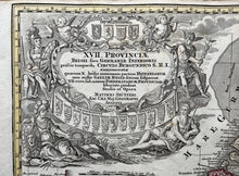
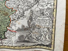
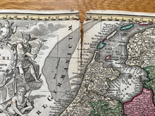
This antique map of the Netherlands, Belgium and Germany includes Holland, the English Channel, Zuyderzee/Southern Sea, London, Havre De Grace, Antwerp, and Brussels. Published c. 1740. In overall fair antique condition with center seam-wear 1/2" x 5" upper seam as shown, excellent color, measures about 19"h x 22"w. Price reflects condition.
Item Number: CSMT073


