1947
Maker: Rand McNally / Union Oil Company.
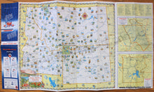
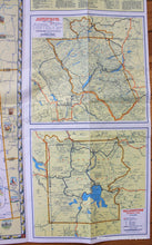
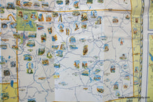
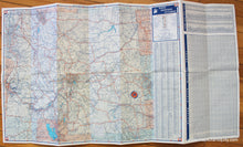
Antique printed color map of Idaho, Montana, and Wyoming featuring illustrations, published by Rand McNally for Union Oil Company in 1947. Illustrations feature a variety of natural monuments and notable places. National Parks are noted with maps of the parks included on the right side. Verso is a road map of the same area with a mileage chart, towns and cities index, and a radio guide. Measures approx. 18.75 x 21.5 inches.
Item Number: WES391


