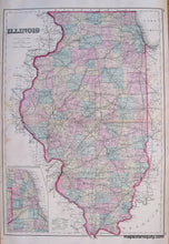
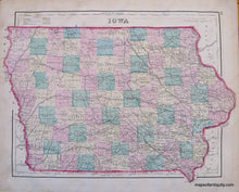
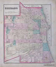
1876
Maker: Gray.
Hand Colored Antique double-sided map from "Gray's Atlas of the U.S. with General Maps of the World". One side has a map of Illinois, opposite side has two maps, one of Chicago and one of Iowa. Shows counties, towns, cities, land forms, rivers, bodies of water, roads, and railroads. Good Antique condition, some light staining, one inch tear on one side, overall toning. Priced as is. Approx. 15 x 26 inches. Price for just Chicago map or just Iowa map is $50
Item Number: MWE199


