Current hours: 10am to 5pm Monday through Saturday. 12pm to 5pm Sundays. IMPORTANT PLEASE NOTE: We have become aware that some of our photos have been stolen by other websites. Our maps are only available at our website www.mapsofantiquity.com or at our store!

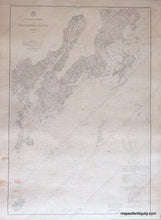
Antique-Nautical-Chart-St.-George's-River-and-Muscle-Ridge-Channel-United-States-Maine-1878-U.S.-Coast-Survey-Maps-Of-Antiquity
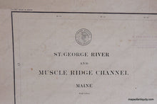
1878 - St. George’s River And Muscle Ridge Channel Antique Chart Genuine Nautical
  • Load image into Gallery viewer, Antique-Nautical-Chart-St.-George's-River-and-Muscle-Ridge-Channel-United-States-Maine-1878-U.S.-Coast-Survey-Maps-Of-Antiquity
  • Load image into Gallery viewer, 1878 - St. George’s River And Muscle Ridge Channel Antique Chart Genuine Nautical
  • Load image into Gallery viewer, 1878 - St. George’s River And Muscle Ridge Channel Antique Chart Genuine Nautical

1878 - St. George's River and Muscle Ridge Channel - Antique Chart

Regular price
$300.00
Sale price
$300.00
Regular price
Sold out
Unit price
per 
Shipping calculated at checkout.

Item number: MAI109
Genuine Antique Nautical Chart

1878

Maker: U.S. Coast Survey.

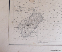
Antique Nautical chart with water and sailing information showing the entrances to St. George's River and Mussel Ridge Channel. Details include water depths, types of sand at ocean floor, and relevant coastal information. Includes Monhegan Island, City of Thomaston, Tennant Harbor. Condition: Good, Surface soiled, oil spots, wrinkled from being wet. Approx. 37 3/4" x 25 3/4"

Item Number: MAI109