1904
Maker: US Coast and Geodetic Survey
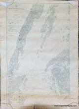
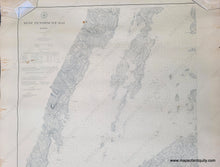
Antique nautical chart showing the western part of Penobscot Bay, published in 1904. Coast Chart 310, 1904 edition of chart first published 1874. Includes Vinal Haven, North Haven, Camden, Rockport, Rockland, and more. Shows roads, railroads, water depths, some topography. Fair to good antique condition with stains and some repaired tearsr at the paper edges. Measures approx. 38.25 x 24.25 inches to the neatline.
Item Number: NAU416


