1894
Maker: Cram.
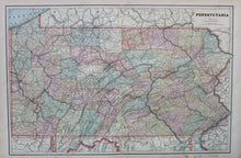
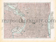
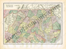
Antique printed color double-sided sheet with a two-page map of Pennsylvania (page 162 and 163). Pennsylvania is in full, printed color. Verso: Page 161- A map of the most densely settled portion of Philadelphia. Includes a reference for hotels, prominent buildings, and depots of the time. Page 164- A map of Maryland and Delaware. Good condition with some slight toning/smudges at the edges. By Cram, in The Standard Atlas and Gazetteer of The World, 1894. Pennsylvania Map Measurements: Approx. 13" x 20" to the neatline. Philadelphia Map Measurements: Approx. 9" x 11.75" to the neatline. Maryland and Delaware Map Measurements: Approx. 12.75" x 9" to the neatline. If you would like to purchase any of these maps separate from the others, please contact us.
Item Number: MAT171


